ArcGIS Online Training for iMMAPers
iMMAP
Enrollment is Closed
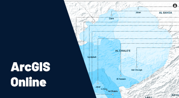
This course will guide you through the process of creating interactive maps and applications, enabling you to share your insights and generate more interest in your findings. Interactive maps can be a gate to exploring, understanding, and measuring geographic data. ArcGIS Online also provides more ways to share your maps with other colleagues, partners, and donors.